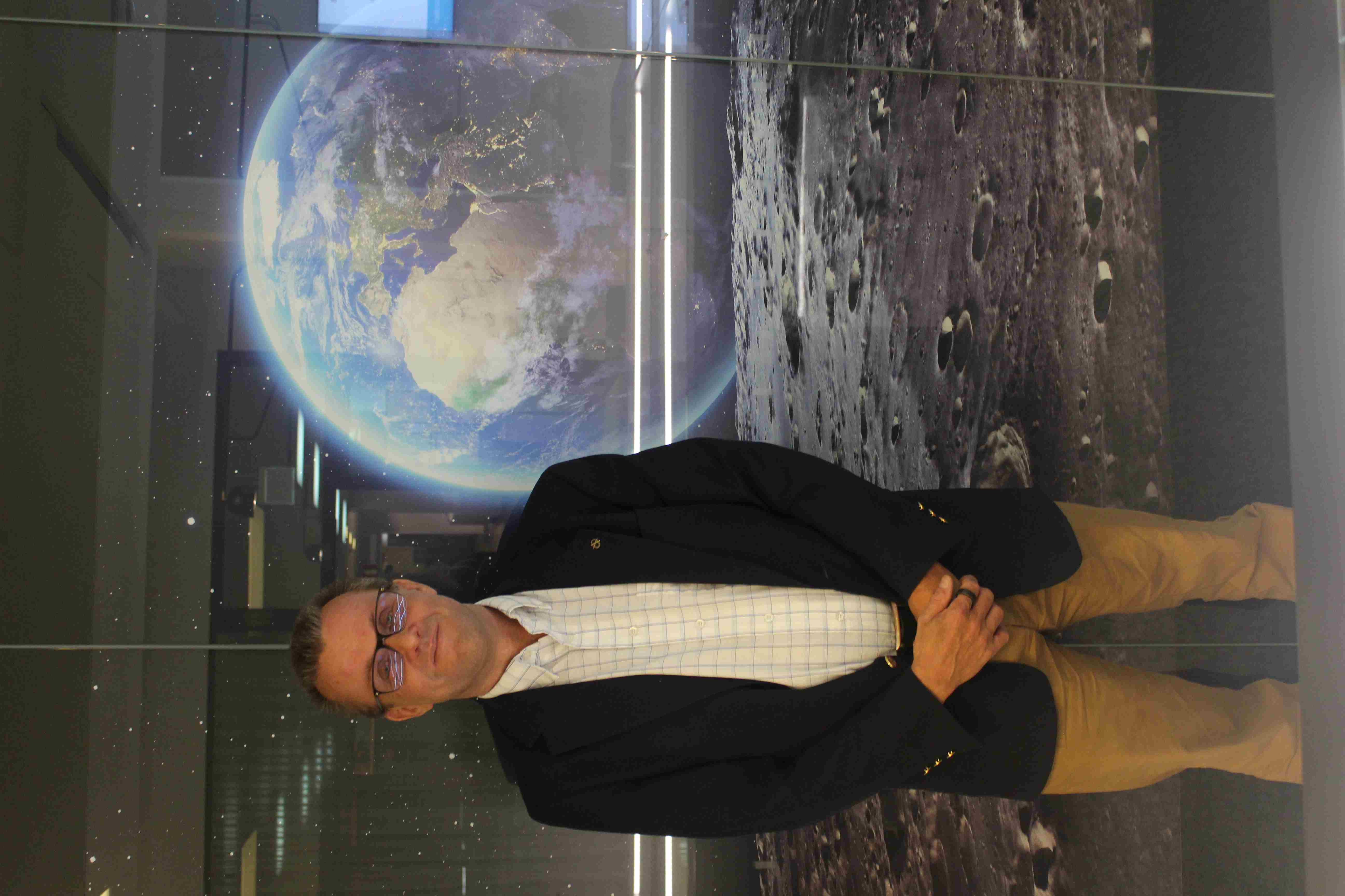
Finnish professor Jarkko Koskinen appointed chairman of ESA's Programme Board for Earth Observation
Today, Finnish professor Jarkko Koskinen was appointed chairman of the European Space Agency's (ESA) Programme Board for Earth Observation (PB-EO). In total, ESA has six program boards, each of which focuses on a key area of the space agency's mission. Koskinen comments on the major challenges lying ahead and expands on the societal significance of Earth observation.

Congratulations on your appointment as chair of the ESA Programme Board for Earth Observation (PB-EO). How do you feel about taking on this role?
Jarkko Koskinen: I am already quite familiar with the program, as I have represented Finland in its program board since 2001. I started as an ESA delegate while working at Business Finland's space unit, upon which I became a professor at the Finnish Meteorological Institute, and eventually ended up as the director of the National Land Survey's Finnish Geospatial Research Institute (FGI). I currently lead a research institute which comprises 200 employees – the ecosystem I oversee is experiencing significant growth. There is plenty of work to do, and my initial stance was that I would not be available as chairman, but here we are. Being elected as chairman is a great honor and also enhances Finland's brand. The increased workload will be manageable thanks to the support provided by ESA.
In what context are you taking on the role of chairman – which challenges lie ahead?
The biggest challenges concern space launches. Several ESA satellites are ready for launch, but EU’s own launch providers are currently not available, and alternative solutions are being explored. Ensuring the continuity of the programs and getting satellites into space as soon as possible is crucial to maintaining the operational capability of the Earth observation systems.
What are your goals as chairman of the programme board?
The top priority will be to ensure the continuity of satellite services. We cannot compromise on the functionality of the EU's weather service, as any disruption would result in costs of hundreds of billions of euros. I am also committed to maintaining Finland's neutrality regarding the launch question, which allows us to build a solution which is suitable for all member states.
Which missions will be relevant during your time as chairman?
In the upcoming years, for example ESA and NASA's gravity mission MAGIC will be relevant. The mission will map changes in the global gravitational field, ocean current dynamics, and the melting of glaciers and associated land uplift. The expansion of the Copernicus program, which develops next-generation operational observation solutions, will also keep us busy, as well as ESA's Earth Observation Science Program, FutureEO.
How would you summarize the societal significance of Earth observation?
The most significant application of Earth observation is improved weather services. Before satellite-based weather services were available, weather forecasts could only be made up to three days in advance with an accuracy of only slightly above 50%. Combining satellite measurements with weather and climate models allows for much more accurate and long-term predictions. This also enables the forecasting of extreme weather events, which, in turn, enables societal preparedness. It has for example become possible to anticipate the hazardous tornadoes which are affecting North America – nowadays their paths can be tracked and the human and financial costs of the hazards can be minimized.
ESA's "Earth Observation Strategy" outlines the enhancement of political and economic decision-making through observational data. What kind of decision-making are we talking about?
One current example is climate policy. A significant part of climate change monitoring relies on satellite data. The Intergovernmental Panel on Climate Change (IPCC), for instance, relies on ground observations and increasingly also on remote sensing data. Satellite monitoring is also used in tracking biodiversity loss, agriculture and forestry, transportation, and security applications.
Is observational data sufficiently considered in Finnish decision-making?
Finland is performing well in this regard and observational data is utilized effectively in various sectors of society. Fortunately, the reception capabilities and distribution systems for observational data are also working well in Finland.
How does Finland score on a European scale regarding the consideration of observational data for decision-making?
Finland has been using remote sensing data in decision-making for a long time, and it is justified to view Finland as a pioneer in leveraging satellite data. One of the first operational remote sensing applications was ice mapping and the use of satellite imagery to support icebreakers. Initially, almost all activities were operated within the public sector, but the private sector has significantly increased its involvement in the last years. The growth of the Finnish space industry, driven by the new space boom, has created a globally unique ecosystem, out of which companies like ICEYE and Kuva Space have emerged as internationally esteemed space actors.
The societal benefits of observational technology are immense. Are there also risks associated with the technology?
Remote sensing is dual-use technology, which means that it can be used for both civilian and military purposes. The exportation of remote sensing data falls under export control, and associated risks are assessed on a case-by-case basis. In addition, the regulation on threshold values for remote sensing, which came into force this summer, brings observational activities increasingly within the scope of legislation.
What is the future of observational activities in Europe?
A few years ago, I met the CEO of Google, who characterized location data and precise positioning as “the fuel of digitalization”. He also predicted that Google's location-based services would surpass the importance of search services in the coming years, which underscores the growing significance of Earth observation. I believe that geospatial technology will thrive in the near future as its societal importance is getting more widely acknowledged.


