The significance of space for the geospatial data sector was widely discussed at this year’s GeoForum Summit
Held for the second time at Dipoli in Espoo, this year’s GeoForum Summit offered a comprehensive overview of the development of Finland’s space sector and its impact from a geospatial data industry perspective.
The Summit began with a look at the current state and past development of the space sector. Aalto University Professor Jaan Praks presented the development of Finnish satellites, followed by Senior Researcher Anu-Maija Sundström from the Finnish Meteorological Institute, who discussed the importance of satellites in climate and environmental research.
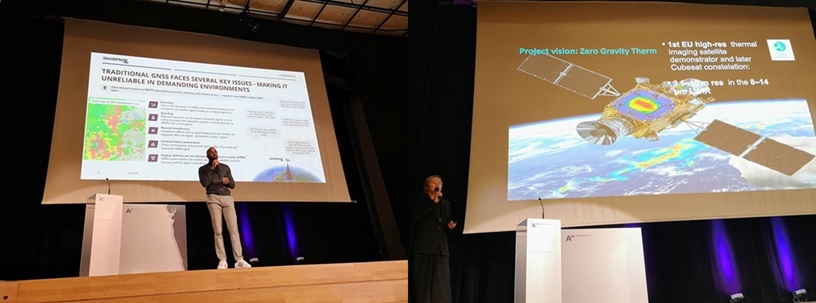
Over the two-day event, attendees also gained insights into the use of remote sensing for identifying forest biodiversity, perspectives on the European Space Agency's startup and innovation support programs, and, as the final presentation of the event, the ESA Commercial Gateway's overview of the programmes currently supporting the space sector, of which there are more than a dozen ongoing in Europe, from supporting pilot projects of new ideas to the development of refuelling stations in orbit.
The growing role of space in urban and environmental monitoring
As a whole, the event left the impression from a space perspective that the role of remote sensing and satellite positioning in particular has grown significantly in the field of geospatial data over the past twenty years, and especially in the 2020s, its use has increased in new operating areas.
Satellite positioning is widely used from water body research to forest mapping and a large part of the measurements of the built environment carried out by cities and municipalities.
Remote sensing data has become a crucial part of environmental monitoring and tracking daily changes. Artificial intelligence-based monitoring solutions have even been built on the basis of remote sensing data, which are utilised in e.g. Finnish Food Authority for EU-mandated field parcel monitoring.
Still room for development in the space sector
As the second day of the Summit focused more on new issues and ongoing and just starting development projects, it also became clear that security, climate change and the restoration of regions in the EU area in particular are themes that require more research and new commercial solutions in the coming years.
At the EU level, also the data space-related targets on top of the existing INSPIRE Directive also contribute to increasing the pressure for more extensive environmental monitoring. There are also no ready-made indicators for everything, which in part challenges the development of solutions, but on the other hand, it enables the development of new innovations and the testing of new technologies.
From an environmental and climate perspective, e.g. ESA’s new research satellites, BIOMASS and EarthCare, have already enabled new types of observations of the atmosphere and tropical forest zones over the past year.
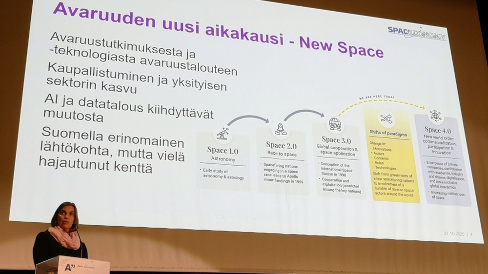
The second day also provided a broader look at the future of the space sector. Professor Heidi Kuusniemi from Tampere University introduced the newly launched SPACECONOMY project, followed by a quick overview of ESA Phi-Lab Finland’s first innovation projects, set to begin in November.
Overall, the space-themed sessions left a positive impression. Although there are certainly still many challenges, the development of space technology has for its part contributed to the renewal of the geospatial data industry, which makes extensive use of it.
On the other hand, traditional measurement methods are still needed, and especially with regard to stake out surveying, there are still no ways to do it from space other than satellite measurements, which mainly still work only outdoors.
How to combine terrestrial and built-up location is still one of the biggest challenges in terms of spatial data. So there is still plenty to do and develop, and we will certainly hear more about the topics at the Winter Satellite Workshop in January.